Open Source computing for UK businesses
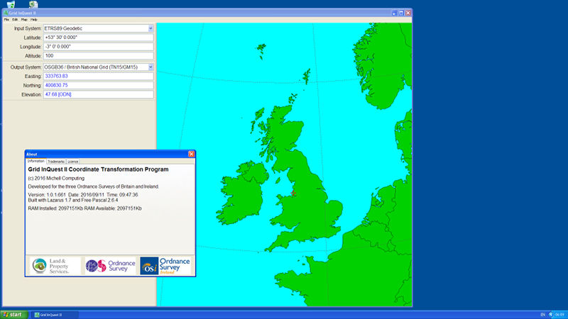
Grid InQuest II Coordinates Transformer
In 2015 a consortium of the Land and Property Service of Northern Ireland and the Ordnance Surveys of the Republic of Ireland and of Great Britain updated the regional geoid model used by their mapping systems. The resulting model (OSGM15) increases the vertical accuracy of positional data within the region and, in the case of Great Britain, also improved the horizontal (OSTN15) accuracy too.
This new model has been publicly released as the revised definition for the transformation process between global and regional coordinate systems. Further technical information about these changes may be found in 'Updated transformations for UK and Ireland'.
The previous regional geoid model (OSGM02) was accompanied by a Microsoft Windows application and library called ‘Grid InQuest’. The consortium wanted a similar suite of software to accompany the new model and so commissioned Michell Computing to write the replacement.
Technical Requirements
The software specification required the accurate transformation of coordinates between: the European Terrestrial Reference System (ETRS89 cartesian and geodetic); the Irish Grid (IG); the Irish Transverse Mercator (ITM); the British National Grid (OSGB36) and the Universal Transverse Mercator zones covering the extent of the geoid model (UTM29, UTM30, UTM31). It also required that it must be platform agnostic and run on at least Microsoft Windows (7 and later) and Apple Mac OSX. It had to be easy to distribute to end users, without the requirement for internet connectivity and lastly the software had to be released as ‘Open Source’.
There were additional requirements governing the user interface, file handling and data processing capacities. These were broadly a request to match the original features of the Grid InQuest software. Since this software had established a recognisable brand in the geodetic user community, the new system was to be called ‘Grid InQuest II’.
Development Process
Since Grid InQuest II required easy to distribute binary programs, targeted at multiple platforms and be completely open source. Free Pascal seemed to be the perfect programming language to fulfil these criteria. Indeed, it was possible to accede the minimum specification and add Linux as a target platform for the software as well as separate 32 and 64 bit builds for Windows and Linux.
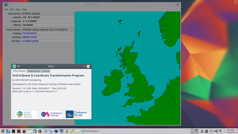
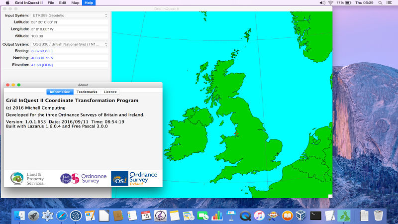
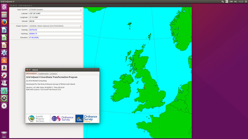
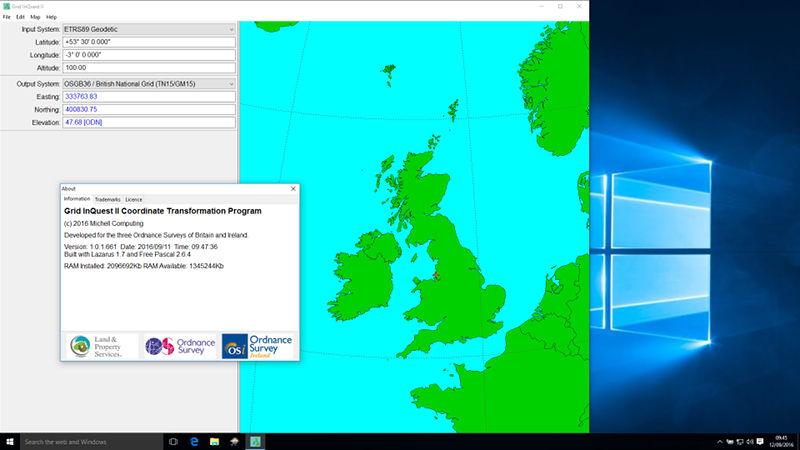
The desktop program could additionally take advantage of Lazarus' GUI development library, the LCL, to deliver native interfaces for each of the desktop environments of the target operating systems, all from a single code base. Git was used to manage the development history of the project and a Bitbucket account used for distributing both the source code and pre-built binary releases.
Future Developments
The consortium are hoping to fund a further stage of development to embrace mobile platforms, Android and iOS in particular. This will require extending the cross-platform capabilities into targeting Arm processors and also making modifications to the user interface to adapt to small form factor displays. Fortunately, the Free Pascal compiler's support for Arm processors has been maturing over the last few years and they are now well supported. As a pilot test build for ARM targets, the project was sucessfully built on a Raspberry Pi model 2 and run under the Pixel desktop environment. Other interesting possibilities for the future include adding a GPS mode to automatically feed the user's current location into the conversion library for real-time positioning applications.

